Entries in guided (4)

Wednesday
Jun272012

American Alpine Institute Denali Team 5, 2012

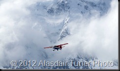
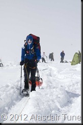
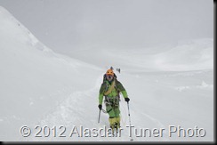
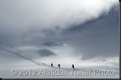
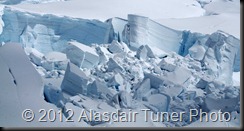
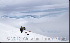
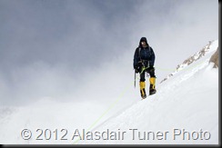
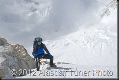
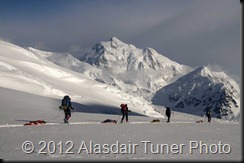
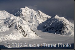
I just got back from my second Denali trip of the year, and once again the weather ruled the trip.   This was my second trip of the season, and unlike the first was quite warm.  Unfortunately the high winds were still present, and were accompanied by lots of snow. 
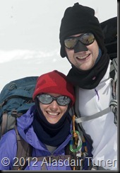
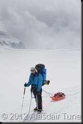
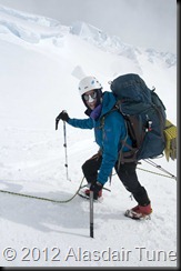
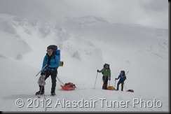
With the strongest team I have had on the mountain I left Talkeetna fairly optimistic about our summit chances.  The first few days on the lower glacier were perfect.  Not too hot and not too stormy. 
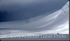
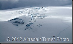
DSC_4117DSC_4128DSC_4139
When we got to 11,200ft camp the weather changed, and as is typical for that area of the mountain we got a lot of snow overnight.  So much in fact that it collapsed our cook tent and broke all our poles.  This combined with a little stove accident pretty much ended the life of our cook tent.  We spent the next day repairing the tent.

DSC_4166
We did manage to carry a load up and around windy corner after a short delay. 
DSC_4170DSC_4202DSC_4235DSC_4252DSC_4254
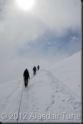
The following day we moved to camp at 14,200ft.

DSC_4264DSC_4270DSC_4272DSC_4274DSC_4277DSC_4280DSC_4284DSC_4312
Once arriving at 14,200 the weather took a turn for the worse and the snow started falling. 

DSC_4319
DSC_4339DSC_4342_1DSC_4351DSC_4354
We did manage to carry a load up to a cache spot of 16,700 ft.  Little did we know on this day that the weather would never improve enough for us to return and retrieve our cache. 
DSC_4379DSC_4387DSC_4388DSC_4392DSC_4417DSC_4420
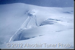
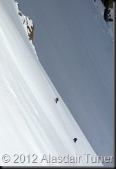
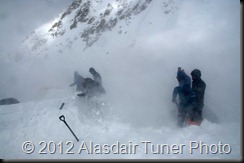
After returning to camp a storm rolled in and dropped several feet of snow, which is fairly uncommon at 14k this time of year.  In addition to the heavy snow there were very strong winds which caused some very dangerous avalanche conditions all over the mountain.  See the previous post for some photos and a short movie. 
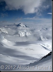
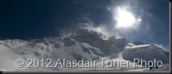
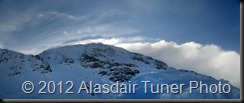
We had cached 4 days of food just below Washburn’s Thumb, and then sat at 14 camp day after day watching the winds hammer the upper mountain, and load the leeward slopes.  We were stuck at 14 camp unable to go up and get our cache, and unable to go down.  Below are some photos of some of our time at 14. 
DSC_4609DSC_4629Untitled_Panorama3Untitled_Panorama4Untitled_Panorama5
With only a single dinner left and no lunch to hand out until we got down to a cache at 11k camp we had to descend without ever returning to the upper mountain.   The only team that summited within a week of us leaving was a group that had been sitting at 17 camp for 11 days.  Each person in the group sustained serious frostbite injuries in what might be one of the worst pieces of decision making I heard of on the mountain this year. 
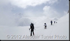
The move down from 14 camp was not a simple walk.  Thigh deep snow around windy corner made travel difficult. 
We walked through the night to get to basecamp for the flight out the following morning.  It was truly a beautiful night…
DSC_4663DSC_4669DSC_4675
Untitled_Panorama1Untitled_Panorama6

Monday
Jul252011

Forbidden Peak North Ridge Climb with Mountain Madness.

I just got back from a climb of Forbidden Peaks north ridge with Mountain Madness.  I have been wanting to climb this ridge for over 10 years and after looking down it after my west ridge climb a few weeks ago it was more on my list of things to do than ever.  I got a call on Wednesday asking if I was interested in working a north ridge climb and I jumped a the chance.  

The north ridge is not one to be taken lightly.  Just getting to the ridge can feel like a climb in itself since it involves a climb up loose rock and a rappel down the other side of sharkfin col, followed by a walk across a big glacier, and then another climb over a ridge on the other side of the glacier.  

We spent the night at the base of Sharkfin Col with the intention of climbing over will full packs and then spending the night somewhere on either the north or west ridge (our descent route).  We woke up the next morning at 5 am and made the quick decision to go for the whole thing in a day and leave our camp at Sharkfin Col.  

Sharkfin col.  The notch we used to get to the Boston glacier is  located directly above the finger of snow on the left side of the photo that points up and slightly right.  

The rappel down the other side of Sharkfin Col at 6:15.  

It was looking to be the best weather day of the year so far.  

Our objective in the distance.  

Crossing the Boston Glacier

There were not to many crevasses on the glacier so it was fairly quick moving. 


The north ridge col is located at the lowest point in the ridge on the far west side of the Boston Glacier.  Many people miss this and go up one col too early (south).  This also works but requires a rappel or two on the other side.  I did not like the look of the standard crossing due to a large chunk of snow that needs to fall off, so we climbed up the col just to the south of the standard one.  After we got there we made one rappel and I changed my mind about the route variation choice.  We climbed back up the col and reassessed our situation.    We were planning on climbing the NW facing snow slope that takes you to the north ridge, but after having a better look at the complete north ridge I decided we might as well just start climbing from where we were.

I was very worried about time, since we were not carrying any bivy gear, and although spending the night on the ridge would not have killed us, it would have been a very uncomfortable night.  I figured we really needed to be at the summit between 12 and 1 to get down at a reasonable time, and right now (9:30) we were quite a bit behind that time.  I put the camera away and we got serious.  We climbed the ridge with a few short pitches and a whole lot of moving together on whatever terrain looked to be the easiest.  We bypassed a couple of steep snow sections by downclimbing around them on relatively easy ground.  The climbing was easy, and very enjoyable.  After an hour of climbing we had made it to the snow crest where the NW variation usually joins the ridge.


The only photo I shot on the lower part of the ridge.  
The NW facing snow slope that gains the ridge does so at a point where the ridge builds up a lot of snow over the winter.  There were still some cornices on this ridge so we had to traverse the slope lower down where it was a bit steeper.  We did three full pitches on firm snow with picket anchors.  It was now time to relax a little since I was sure we could make it off the peak before dark.  

Looking across the first pitch of the snow traverse.  My crampon marks visible in the bottom right of the photo. 

The second pitch.  

The final pitch back to the rock ridge.  

John maybe wishing he was somewhere else. 
The upper part of the ridge was amazing.  Super fun and easy climbing.

Climbing the upper ridge with the snow traverse visible in the background.  


The last few moves to the summit.  

The entire ridge can be seen below in this photo.  We joined the ridge just after the farthest tower visible in the photo.  

Opps,  I forgot to shoot a photo of us on the summit.  Someone else did, so when he emails them to us I will post them.

I took a second to shoot a photo of the n. face of Mt. Buckner.  
Much to my surprise we were the first party on the summit, followed shortly after by another guided party.  It was 1:00.  We were soon warned of the large number of parties heading up the west ridge.  We took a short break on the summit and started down.  We down climbed and made 3 rappels on the descent to the top of the gully.

The crux of the west ridge on our descent.  

We also passed 4 parties still heading up.  At the top of the gully was a large group of people who had decided to turn around and were trying to figure out how to rappel (or something like that, I don't really know what they were doing).  We walked past them and headed directly to the first rappel station on the right of the gully.  After a little route finding and several raps we made the final rap to the snow below the gully and were surprised to find that were also the first group off the peak.  We decided not to camp at Sharkfin col where all our overnight gear was, so we dropped a pack and ran up and retrieved our gear cached there.   At 7 pm we rolled into the lower Boston Basin camp and started cooking a very needed dinner.  It would be somewhere around 2am before the final group on Forbidden passed our tent heading back to camp.

All in all this was one of the best alpine routes I have done in the Cascades.  It has everything.  It is never difficult, but its length, remoteness and variety make it quite serious.  It is a route I highly recommend, however only to experienced parties of very competent climbers.


Back at the car.  

Thursday
Sep092010

Dragontail Peak Backbone Ridge.

Last week I did  a great trip to the Enchantments for a bit of rock climbing with Tom.  This was by far my best work trip of the year.  We started with a morning of climbing at Index, on the lower Town Wall.  We climbed Great Northern Slab, Japanese Gardens and Godzilla.  From there we did the drive to Leavenworth and climbed Classic Crack.  The goal of the day was to teach an Englishman how to crack climb.  We tried, but as with all crack climbers first days it was a bit of a struggle.  All in all Tom did a pretty good job despite showing full on British crack climbing technique by attempting to lay back of face climb around all the cruxes.
The next day we hiked into Colchuck lake to use our newly learned crack climbing technique on Dragontail Peak.  Is there any better way to test a new crack climber than to put them on a 30 meter long 5 inch offwidth crack?  Below are some photos of the climb.  

Tom in the offwidth.

More offwidth fun. 

The top of the offwidth pitch. 
Looking down the route. 
Midway up the route. 
Colchuck lake in the background.
The summit. 
Sunset on the summit usually means its going to be a long day/night. 
We got back to camp sometime after dark, drank beer, ate food and went to sleep.  The hike out the next morning was quite nice and we did a little climbing in the afternoon, which was also followed by beer.
A pika posing for a perfect photo. 
Dragonfly at the lake. 

The trip was ended by a run up OuterSpace the Leavenworth classic.
Tom on the crux pitch with high winds creating some interesting clouds. 

Friday
May282010

Bolivia: La Paz

Today was our second full day in La Paz and I figured I would upload some photos of the trip so far. La Paz is a huge city that I somewhat wary of coming to prior to the trip. After walking around the first day without any valuables on me I realized that this city is safe, very safe. Other than potentially getting killed by cars this city is great. I have certainly felt less safe in several American cities. So today I walked around with the camera. Fellow AAI Guide Danny Uhlman arrived this morning, and we spent much of the day walking around the sprawling markets that most of the locals use to buy everything they need.

Danny and Susan enjoying the walk. The people here are not very tall.
Typical street scene.
Most of the women have kids somewhere very close by. Here is a typical housewares market stall.

Susan navigating the market.
Danny
Danny buying some pears.

Three full generations of local women.
There are dogs everywhere here. They do not seem to be neglected and starving as in many other countries. The people here just love dogs.

Entertaining the locals.

Hey Danny, where the hell are we?

I now have a new belief about what animal has the cutest babies. We met this guy on our way to do some climbing. There is no question this is the cutest animal I have ever seen in my life.

Some human kids are cute also, but the llama still wins.
Unfortunately not everything in La Paz is cute or enjoyable. This next photo is of the river that runs through La Paz (mostly underground) and re-surfaces just outside of town. It is quite simply the most disgusting thing I have ever seen (smelled) in my life. The color and the smell make it clear that this water is mostly raw sewage.

Danny and I managed to find the La Paz rock climbing. In this photo I am climbing on some conglomerate rock of questionable quality. The climbing area is actually pretty good, although Danny and I both got our asses kicked a little by the altitude.

Thats it for now. There is lots more to come. We have one more day here in La Paz and then off to the mountains on Sunday for five days of trekking. Stay tuned for more photos.